
PrimeWater Virtual Lab – Experiments for students and early career researchers
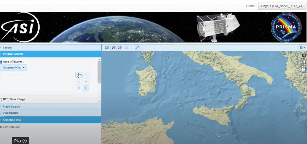
To support the exploitation of space-borne imaging spectroscopy for aquatic applications, a series of videos for students/early career researchers have been prepared in the framework of the PrimeWater Virtual Lab. The videos describe the use of some tools for PRISMA and DESIS data pre-processing, for evaluating at-the-sensor radiances and for mapping water quality parameters.
You can access these videos on PrimeWater YouTube channel or on our Virtual Lab page.
The first experiment of the Virtual Lab, Remote Sensing – A1. Imaging spectrometry, allows you to explore current imaging spectrometry data (e.g., PRISMA, DESIS) in order to describe the primary producers in selected target areas (e.g., WTP Melbourne) in terms of pigments, size classes, and functional traits.
Experiment name: Exploitation of satellite imaging spectrometry for mapping phytoplankton and aquatic vegetation.
Scientific question: Can current imaging spectrometry enable the assessment of primary producers in freshwater reservoirs.
Leave a Reply
You must be logged in to post a comment.
Store News
